
How big is that field? Walk its edge with your iPhone, or tap the corners on a satellite map, and LandLens tells you in acres or hectares. Cut out a pond, split it into strips, save it, and send it as KML, Shapefile or PDF. Free to start, no account needed.
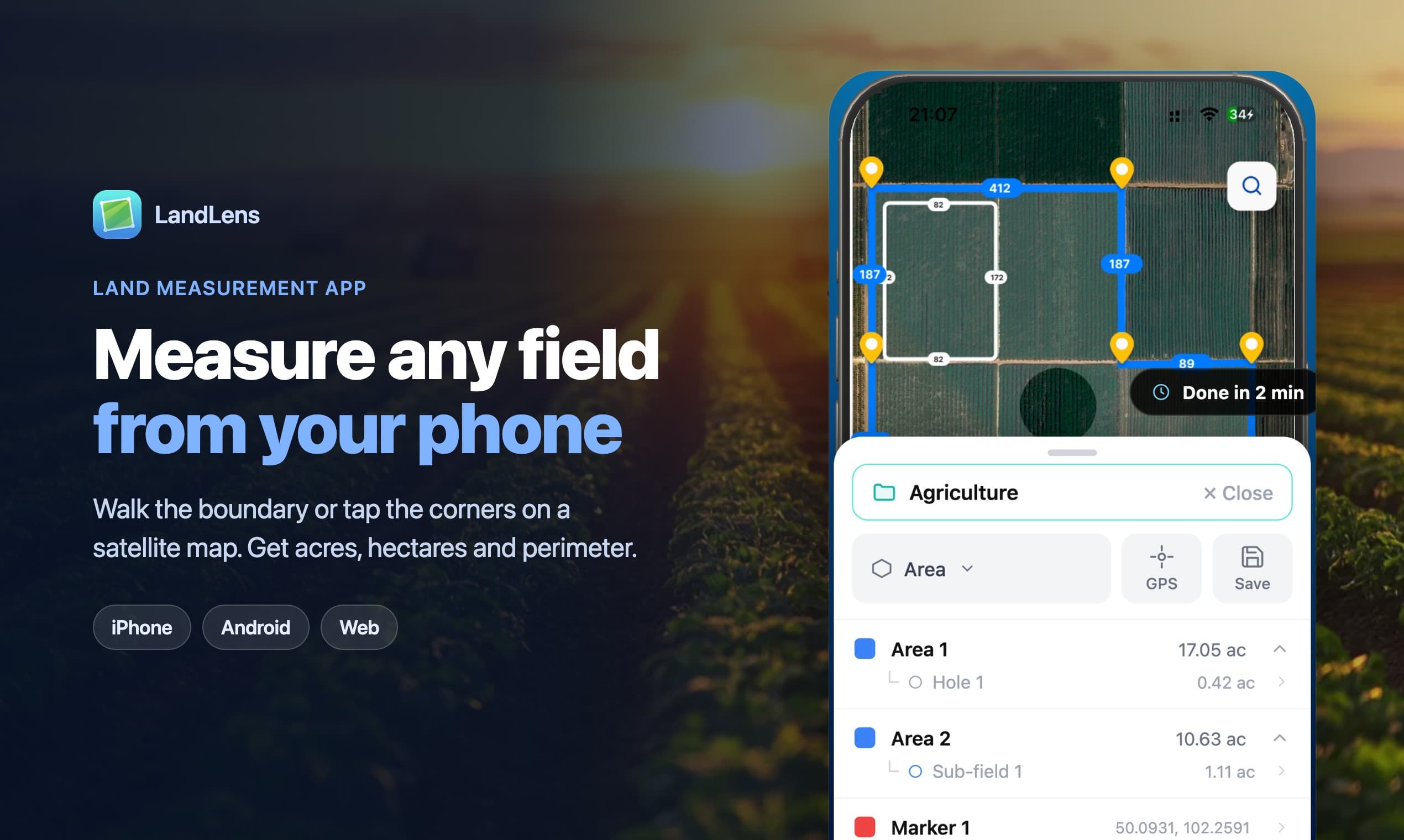
GPS walk mode or tap-to-draw on satellite imagery. Curved edges, circles and cut-out holes. Sub-fields, strip splits and merging. Undo for every edit. Export to KML, KMZ, GeoJSON, Shapefile and PDF.
Farmers checking field sizes before planting or buying inputs. Landowners and buyers sizing up a plot. Hunters mapping a lease. Contractors and landscapers measuring fence lines or lawn area for a quote.
6 ratings
Solo developer building LandLens, an app that measures land on your phone with GPS or a satellite map.

AI video with native sound, paid per clip. Nothing stored.

A calmer Mac menu bar, one click away.

Enterprise Software. Intelligent Automation. Global Impact.


Comments
1Solo developer building LandLens, an app that measures land on your phone with GPS or a satellite map.
Hi Fazier, I'm Alina. I build LandLens on my own. It measures land from your iPhone: walk the boundary or tap the corners on a satellite map, then export to Google Earth, QGIS or a PDF. It's had over 10,000 downloads so far. Feedback is very welcome, especially if you measure land for work.