

Turn your CRM or spreadsheet into an interactive map
4.8(6)7StartupsTechnologyMaps
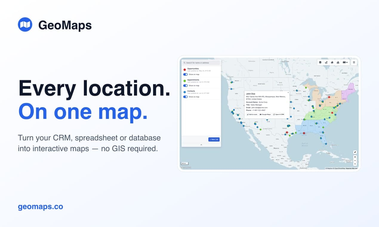
GeoMaps turns your spreadsheet, CRM or database into an interactive map — no GIS skills required. Connect your data (or upload a file) and every record is geocoded and kept in sync automatically. From there, generate a map with AI, plan optimized routes, draw territories, add heatmaps and demographics, and publish shareable maps. Free for up to 1,000 locations — geomaps.co
6 ratings
Founder of GeoMaps — I turn CRM and spreadsheet data into interactive maps. Obsessed with maps and making "simple GIS" accessible to everyone.

AI video with native sound, paid per clip. Nothing stored.

A calmer Mac menu bar, one click away.

Enterprise Software. Intelligent Automation. Global Impact.


Comments
7Founder of GeoMaps — I turn CRM and spreadsheet data into interactive maps. Obsessed with maps and making "simple GIS" accessible to everyone.
Hey everyone 👋 I'm Erik, the maker of GeoMaps. I kept hitting the same problem: the most location-rich data a team has — customers, leads, stores, field assets — sits in a CRM or spreadsheet where you can't actually see it. The existing tools either needed real GIS expertise or made me re-export a CSV every single time the data changed. So I built GeoMaps. Connect Google Sheets, Excel, HubSpot, Pipedrive, Zoho and 20+ more (or upload a file), and every record is geocoded and kept in sync automatically. From there you can generate a map with AI from a plain-language prompt, plan optimized routes, draw territories, add heatmaps and demographics, and publish shareable maps. It's free for up to 1,000 locations. I'd genuinely love your feedback — especially what you'd map first, and anywhere the flow felt confusing. I'll be around all day to answer 🙏
i write a16z speedrun scout checks within 24hours | Co-Founder & CTO at Dial AI
The 20+ native integrations are what make this actually useful for real teams. Most map tools force you to manually export data, but GeoMaps pulling live from Google Sheets, HubSpot, Zoho - that's the game changer. Sales teams visualizing their territory in real-time, field teams planning routes dynamically, that friction removal is huge. The AI map builder is clever too - instead of learning GIS software, you just describe what you want to see and it builds it. That's how location intelligence should work.
This is really a very good product, list it now on findalternate.com
You don't need a smart home. You deserve an intelligent one.
It's usefull tool for construction trades. There are not a lot AI in fields.
Data science
GeoMaps has great potential and offers some useful features, but I encountered a few issues that could be improved. Please contact me so I can share detailed feedback and suggest the changes I'd like to see. WhatsApp: https://wa.me/447307349530 Email: [email protected] Telegram: t.me/rforrank
The auto-geocode + sync from Sheets/HubSpot is the part that would actually get used ongoing instead of being a one-off export. Free tier up to 1,000 locations is generous too.
Turning CRM or spreadsheet data into an interactive map looks genuinely useful for sales and operations teams. Does it support automatic syncing when the source spreadsheet is updated?