

Batch geotag photos in seconds, directly in your browser
4.8(6)7TechnologySEOMarketing
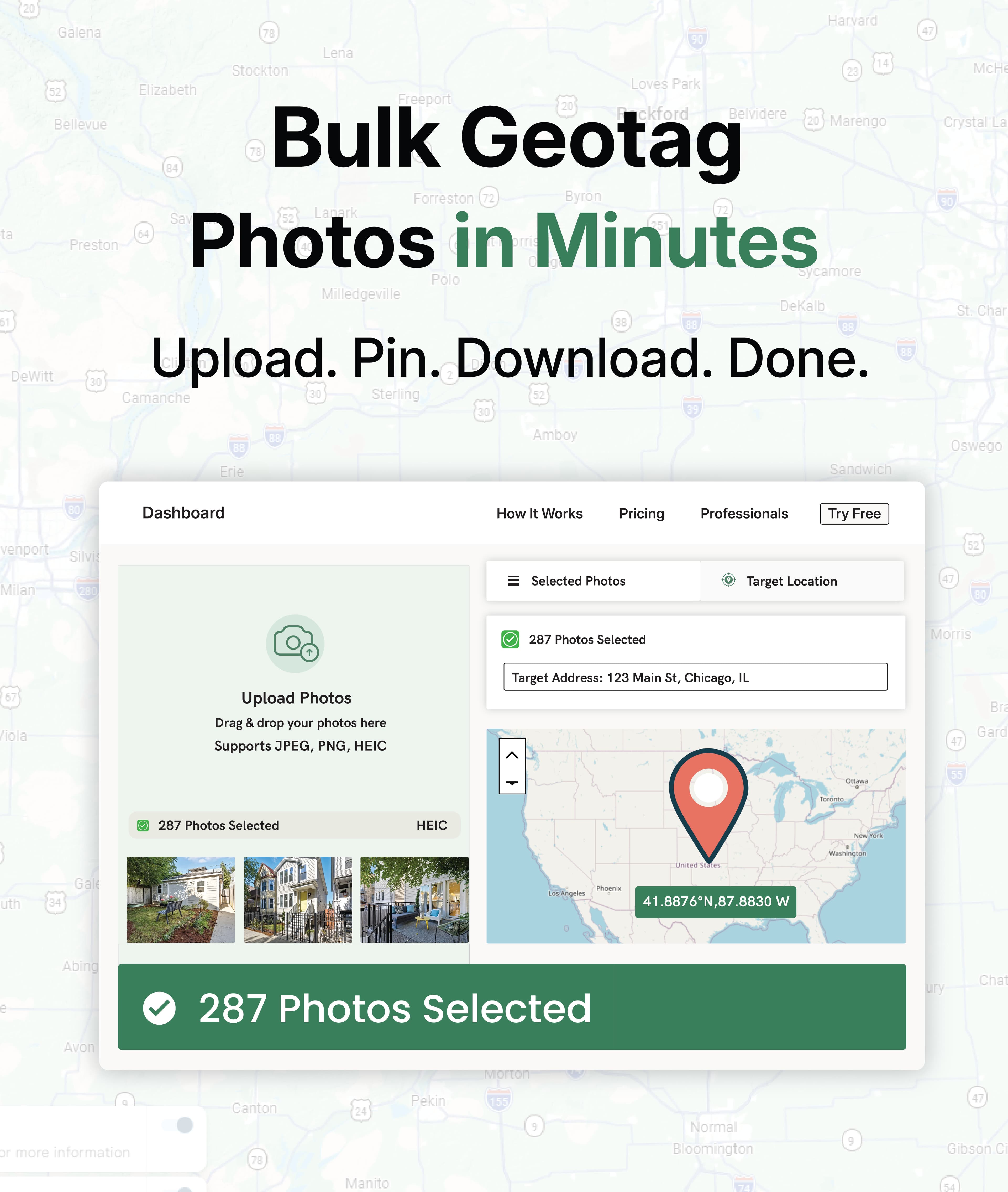
Geo-Tag-It is a browser-based batch geotagging tool designed to help local SEOs and marketing agencies embed precise GPS coordinates into client photos before uploading to Google Business Profiles and local directories.
Key Features
Use Cases

AI video with native sound, paid per clip. Nothing stored.

A calmer Mac menu bar, one click away.

Enterprise Software. Intelligent Automation. Global Impact.


Comments
7Selzee is an AI-powered platform that generates on-brand social media ads, by analyzing top-performing ads in a brand's specific market.
great tool for uploading the photos
Nice that the processing stays client-side. Two honest questions: Google Business Profile strips EXIF from photos on upload, so have you seen measurable ranking impact from geotagged images there, or is the value mainly for your own site's galleries and other directories? And since address autocomplete has to hit a geocoding service, does anything about the photos (filenames, existing EXIF) travel with that request, or only the typed address?
On Google Business Profile: you're right that Google strips EXIF on upload there, so we can't show you a measurable ranking lift from the geotag itself on GBP - and we don't claim one. Where geotagged photos still pay off is the places that keep the metadata: your own site's galleries (EXIF GPS feeds image search signals and internal map features), many local directories and citation sites that preserve EXIF, and stock/portfolio platforms that index it. GBP photo performance is driven by relevance and engagement signals, so our position is: geotag for the assets that keep the data, and treat GBP uploads as distribution. We're happy to be corrected with data either way - that's why the processing is transparent and verifiable with any EXIF reader. On the autocomplete: only the typed address text goes to the geocoding service. Photos never leave the browser - filenames, existing EXIF, and the image itself are read locally in the page, and none of it is included in the geocode request or any other network call. The geocoding request is just the partial address string and a session token, nothing else.
Founder
Hmm, very useful, I was thinking why something like this didn't exist
Building PZERO, saving you money - pzero.studio
Embedding precise GPS coordinates into client photos before they reach Google Business Profiles gives local SEO teams a batch workflow instead of editing each image by hand. When AI budget needs to stay focused on the product, PZERO is at pzero.studio.
Preserving the original camera metadata while editing GPS is a useful distinction. For a batch containing photos from several locations, is there a preview of existing coordinates and an option to update only photos that have no GPS? That would help prevent accidentally replacing correct location data across a mixed album.
Great question! Previewing existing coordinates: after you upload a batch, every photo is listed with its current coordinates - or "No GPS" if it has none - so you can see exactly what's there before anything is written. Each photo is also marked as tag or skip based on that scan. Only updating photos without GPS: there's now a skip option. When it's on, photos that already have GPS are left completely untouched and only the ones missing location data get tagged - so you can safely run a mixed album without overwriting good data. You can also review the preview list and flip any individual photo before processing. And on preservation: when we do write GPS, we keep the camera's original data - make, model, lens, capture date, orientation - and only add or update the location and fields you set. Nothing gets spoofed or stripped.